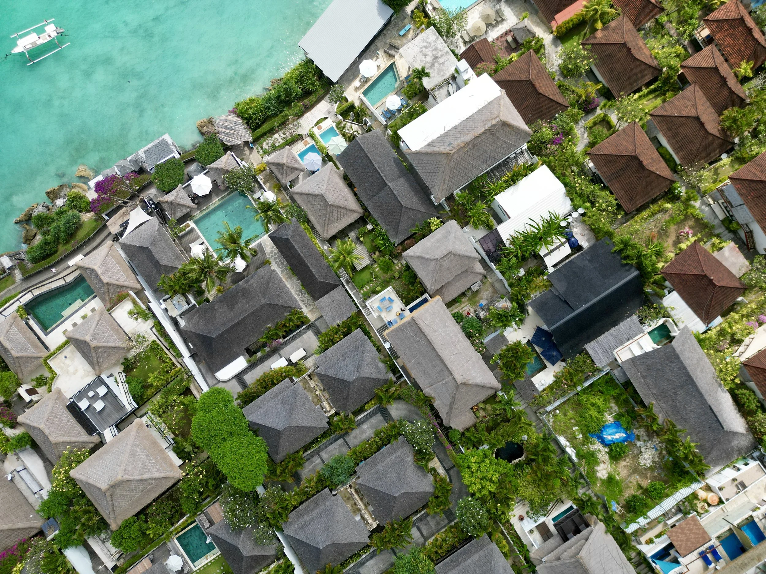
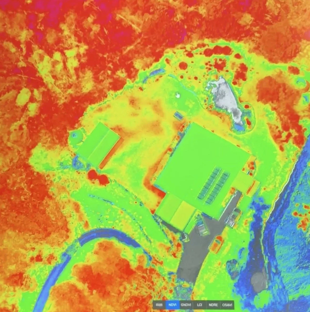
We use state of the art UAV systems to provide orthographic mapping of your site using photogrammetry. We have a quick turnaround for processing data into useable maps, and can also provide multispectral mapping for agricultural and environmental sites.
Utilise our accurate drone imagery services for planning, asset inspection, asset and project management, change detection, distance and area calculations and more to save you time in the field and get an accurate understanding of your projects, properties and landscape.