Who we are
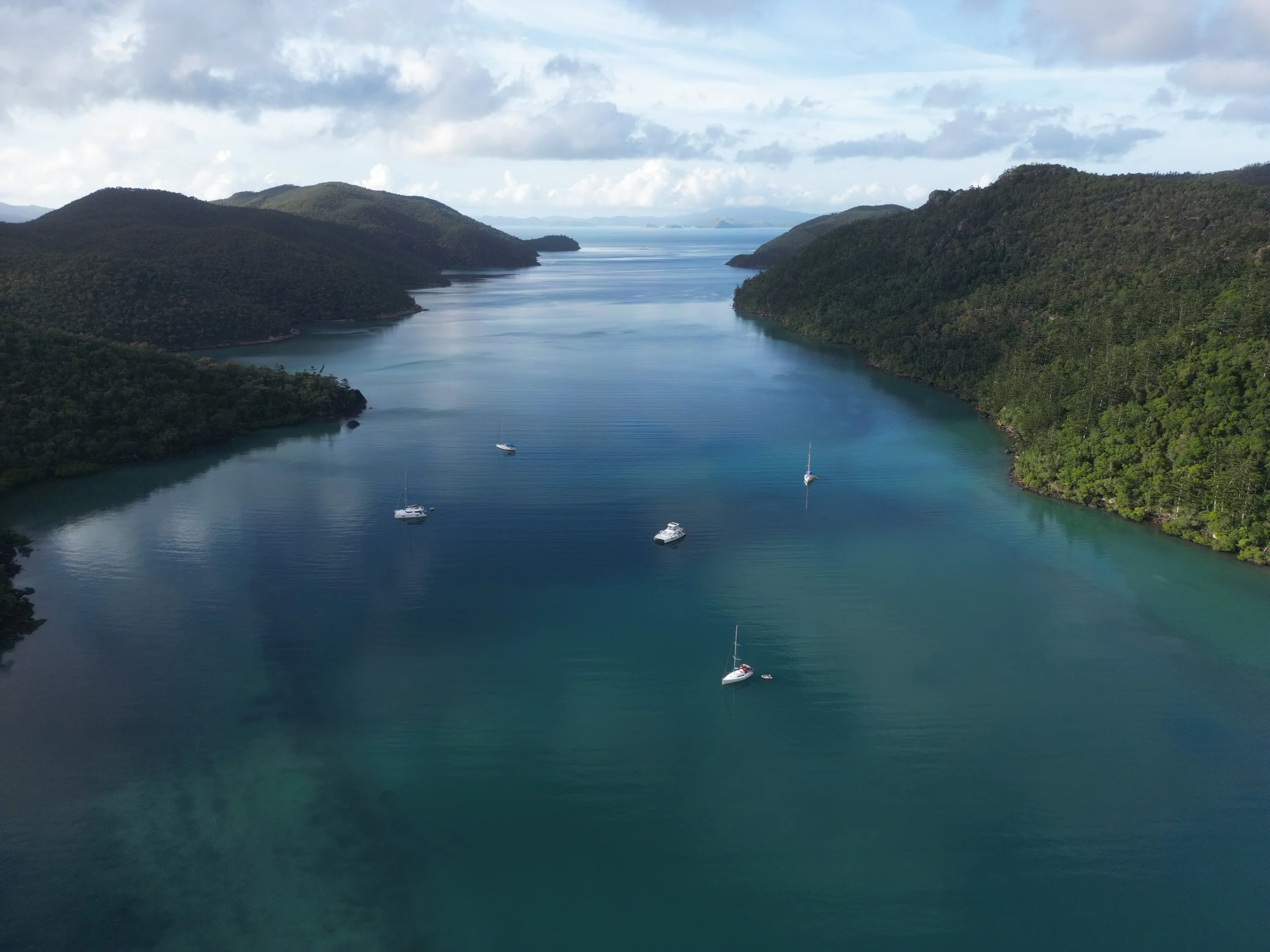
At BIOSPATIAL as well as providing excellent aerial mapping and photography services, we are trying to meaningfully improve the depth of understanding people have for their land, projects, operations and conservation areas.
We combine data from state of the art drone and satellite technology with environmental data and a deep, constantly evolving understanding of ecosystem dynamics and human impact, to deliver visual, three-dimensional, easy to report outcomes for all your accountability needs.
Reporting and accountability standards surrounding environmental impact is coming in fast, and we can help you get an understanding of your land that goes way beyond surveying and traditional mapping. We combine geospatial mapping with biological and ecosystem impact mapping to create an understanding fit for the future.
Coming soon: Combine these reports and outcomes with our partners to find a new source of income from your hard work caring for the ecosystems you manage.
Contact us
Email us at info@biospatial.com.au, or use this form to start a conversation about any of your aerial mapping, spatial, landscape and asset modelling, inspection or ecosystem inventory needs for your house, business, land, farm, conservation or construction project.
We are based on the Sunshine Coast and so can do smaller and regular repeat services in the surrounding area.

