
Visualise your projects properly
Aerial survey, landscape mapping and ecosystem modelling services

Services
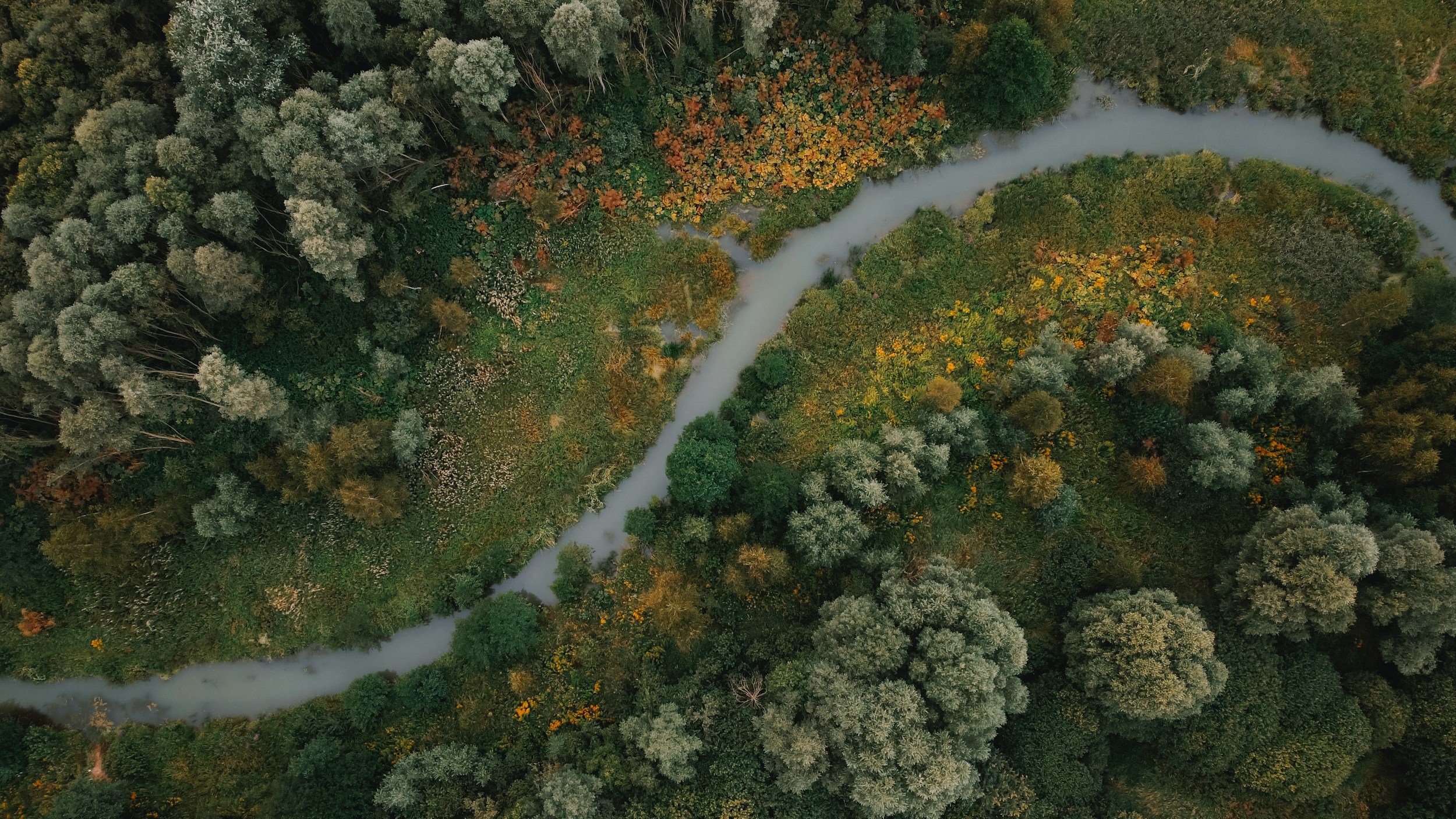
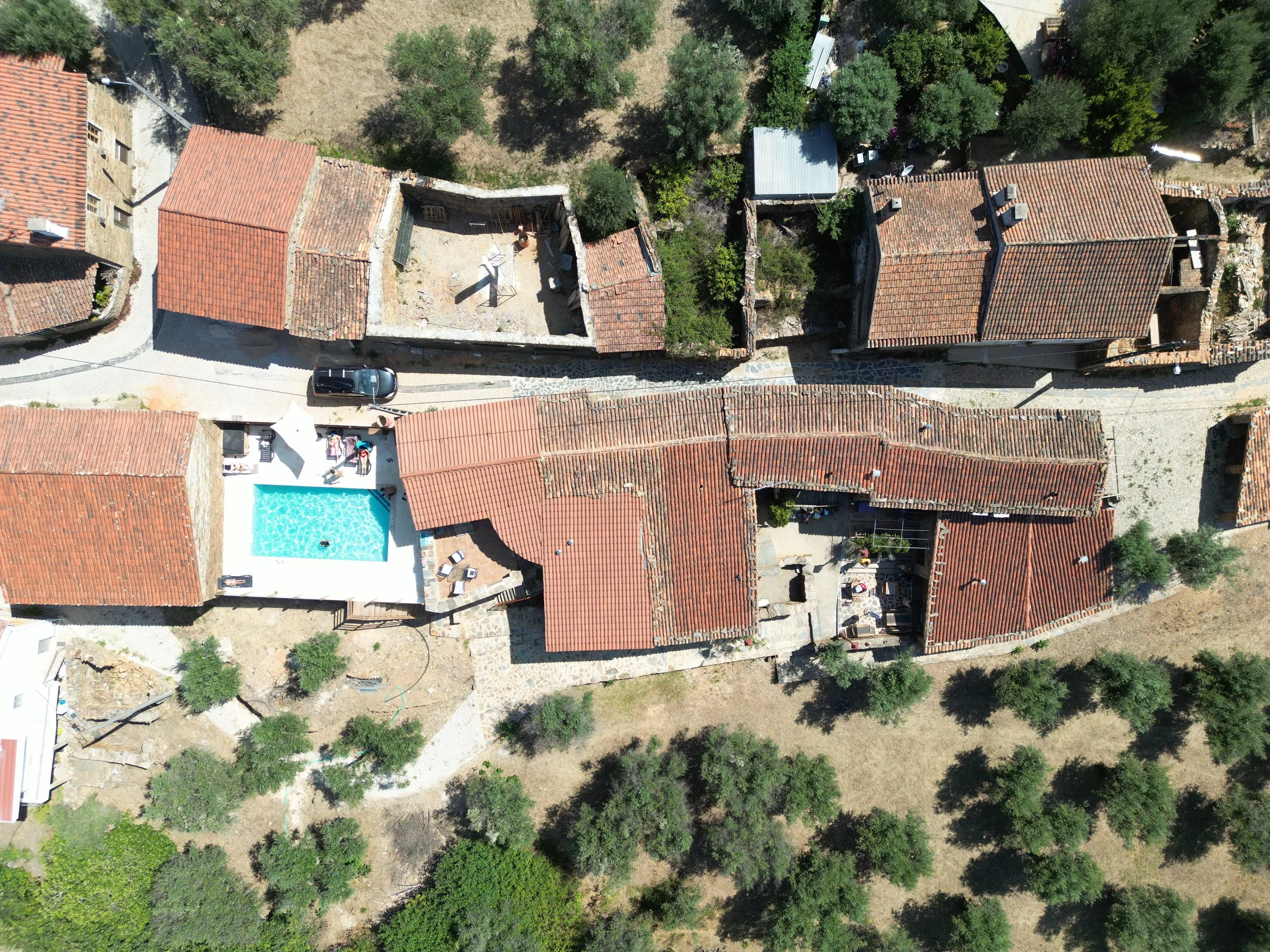
We use state of the art UAV systems to provide orthographic mapping of your site using photogrammetry. We have a quick turnaround for processing data into useable maps, and can also provide multispectral mapping for agricultural and environmental sites.
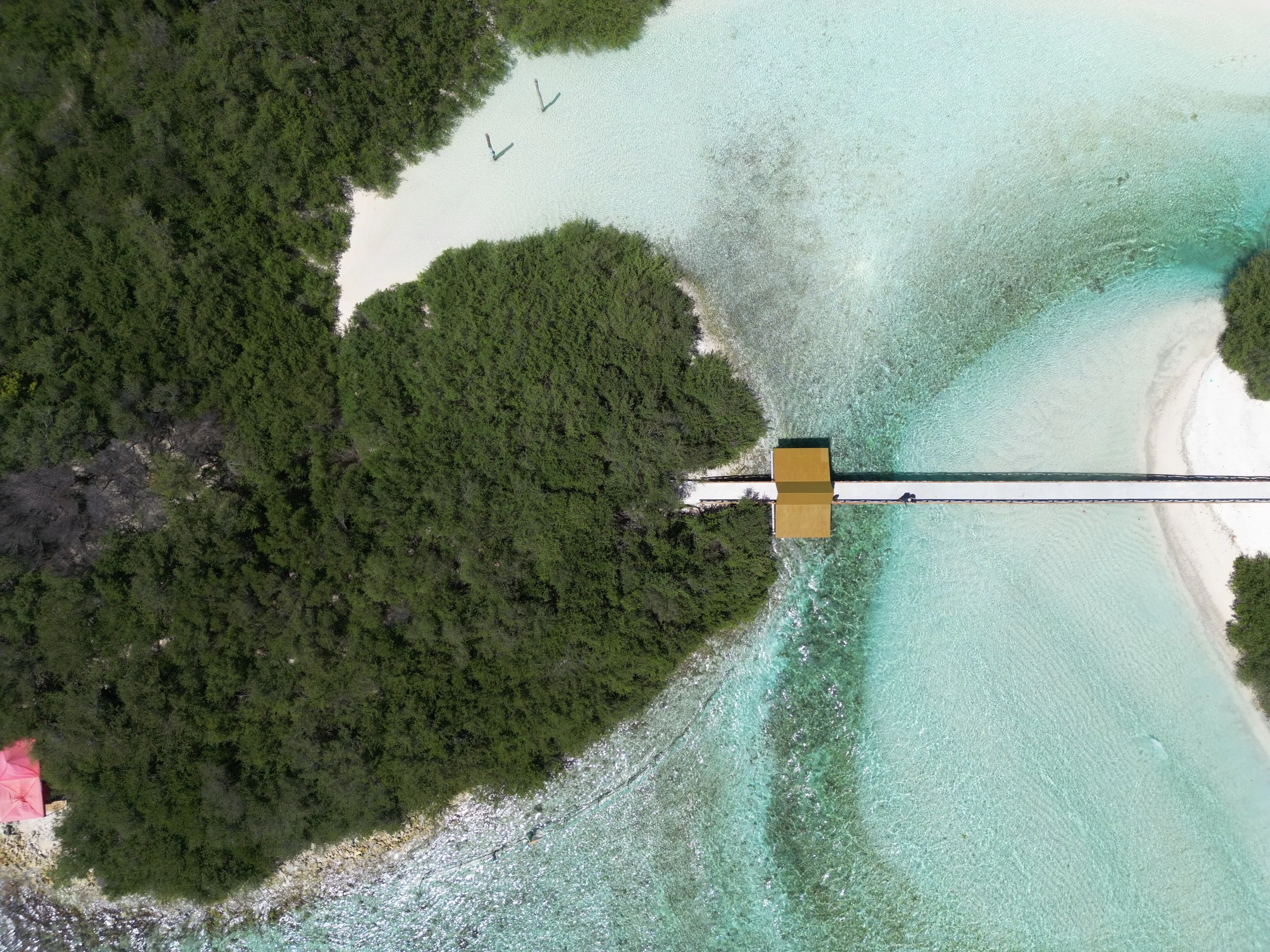
Utilise our accurate drone imagery services for planning, asset inspection, asset and project management, change detection, distance and area calculations and more to save you time in the field and get an accurate understanding of your projects, properties and landscape.
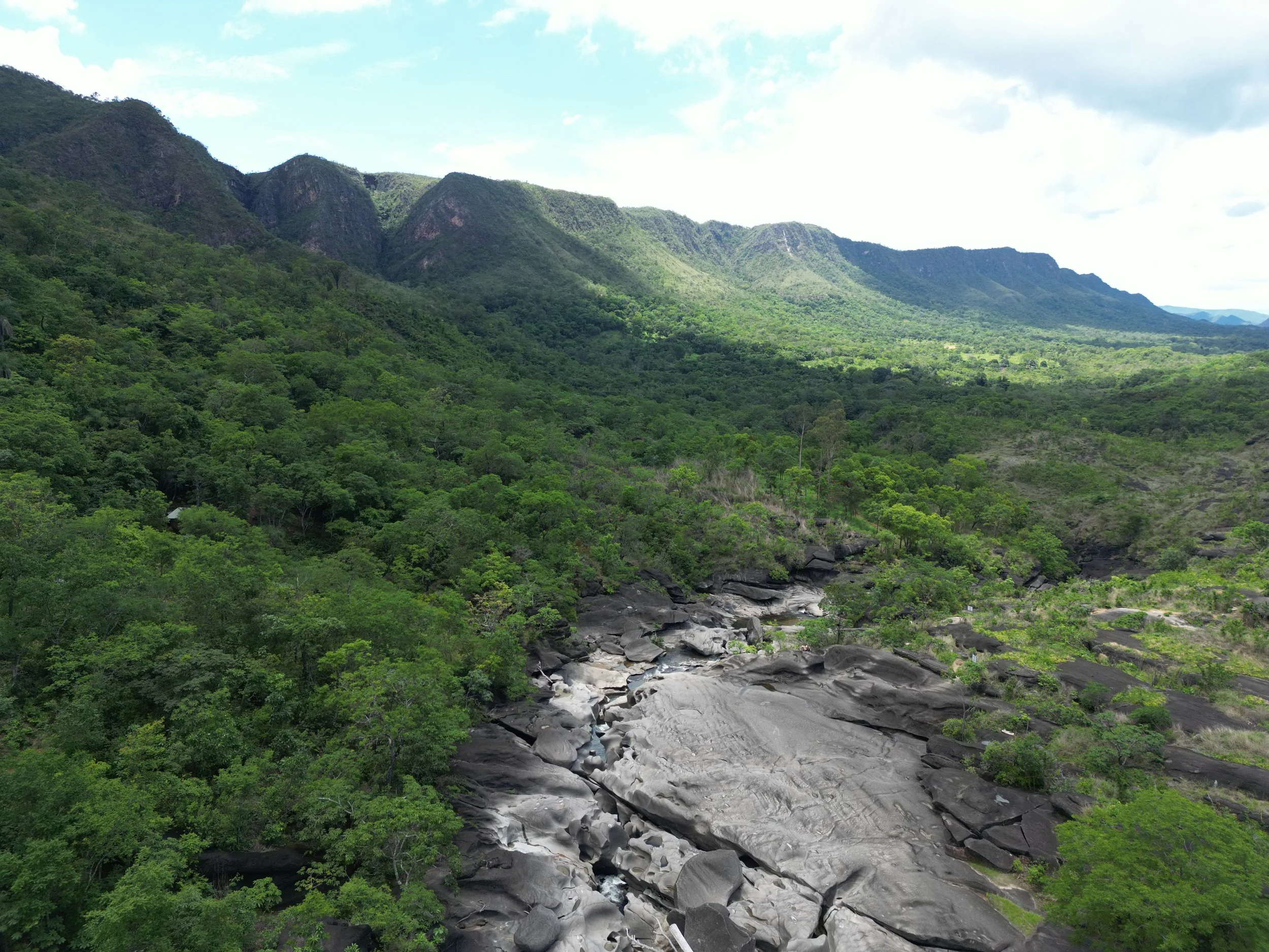
Our unique method of analysing and reporting environmental assets and how they interact with the surrounding ecosystems will redefine the way you and stakeholders view the true value of your land.
Keep way ahead of environmental standards and reporting needs easily with our visual reports.
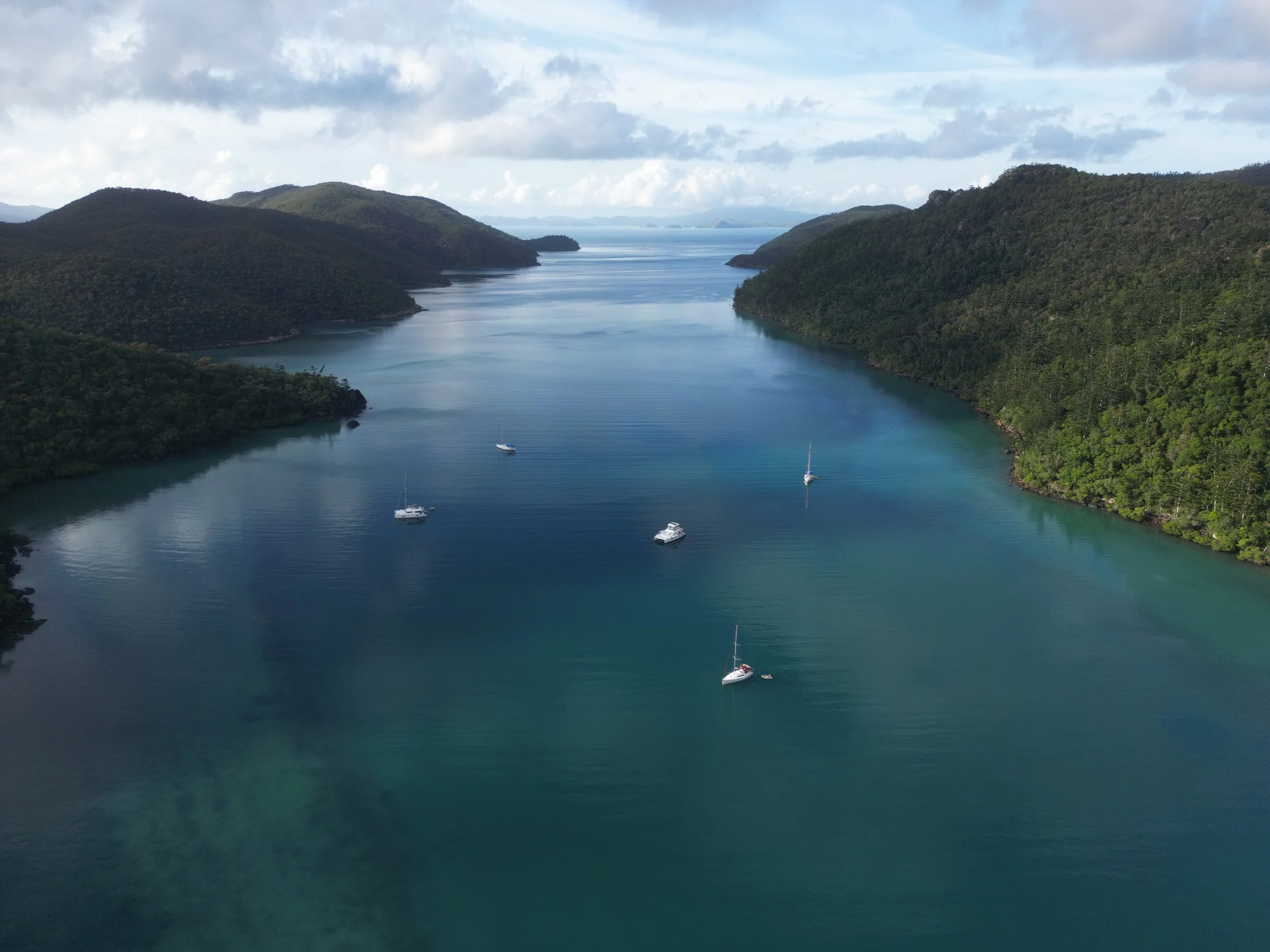
We have an experienced team of photographers and filmmakers ready to combine aerial and traditional methods to film and edit quality storytelling and promotional videos, providing you with perfectly framed shots of your business or event from the ground and sky.
Available for bookings for business promotion, water sports, real estate and other creative ventures.
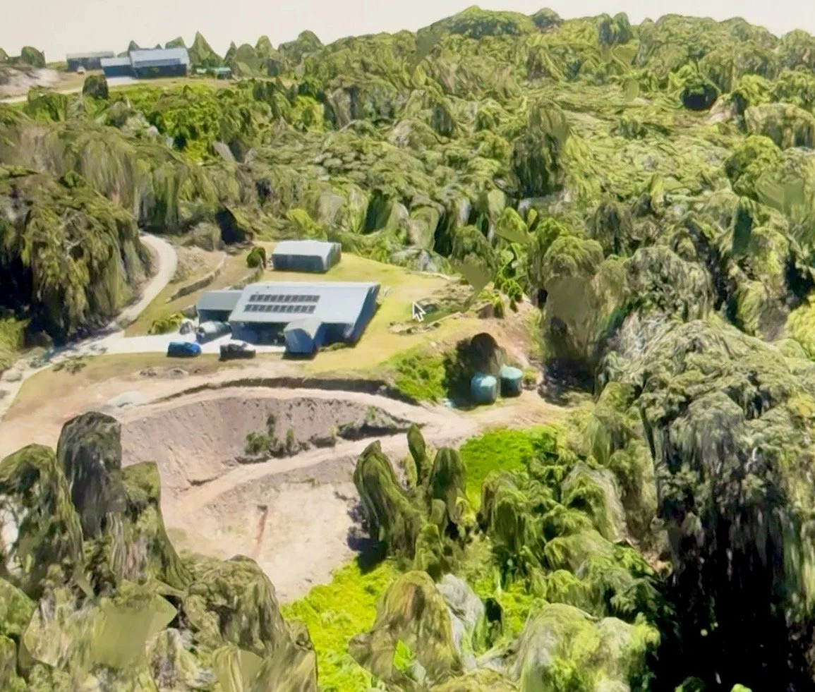
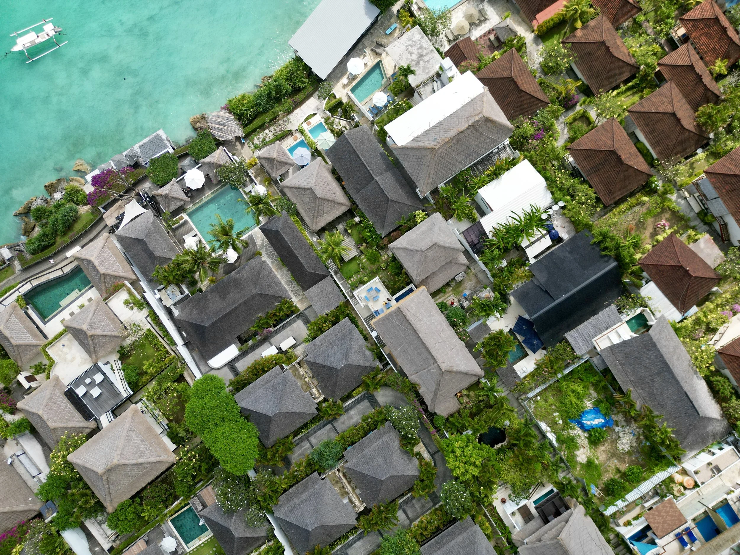
Using advanced photogrammetry for a faster result, or LiDAR for extreme detail, we can render realistic 3D models of your landscape, building, construction site, agricultural site, assets and more to allow for 3D volume measurements, change detection and for use in other models.
Utilise drone imagery to provide aerial condition assessments and inspections of buildings, assets and infrastructure and provide you with the reporting needed for your peace of mind.
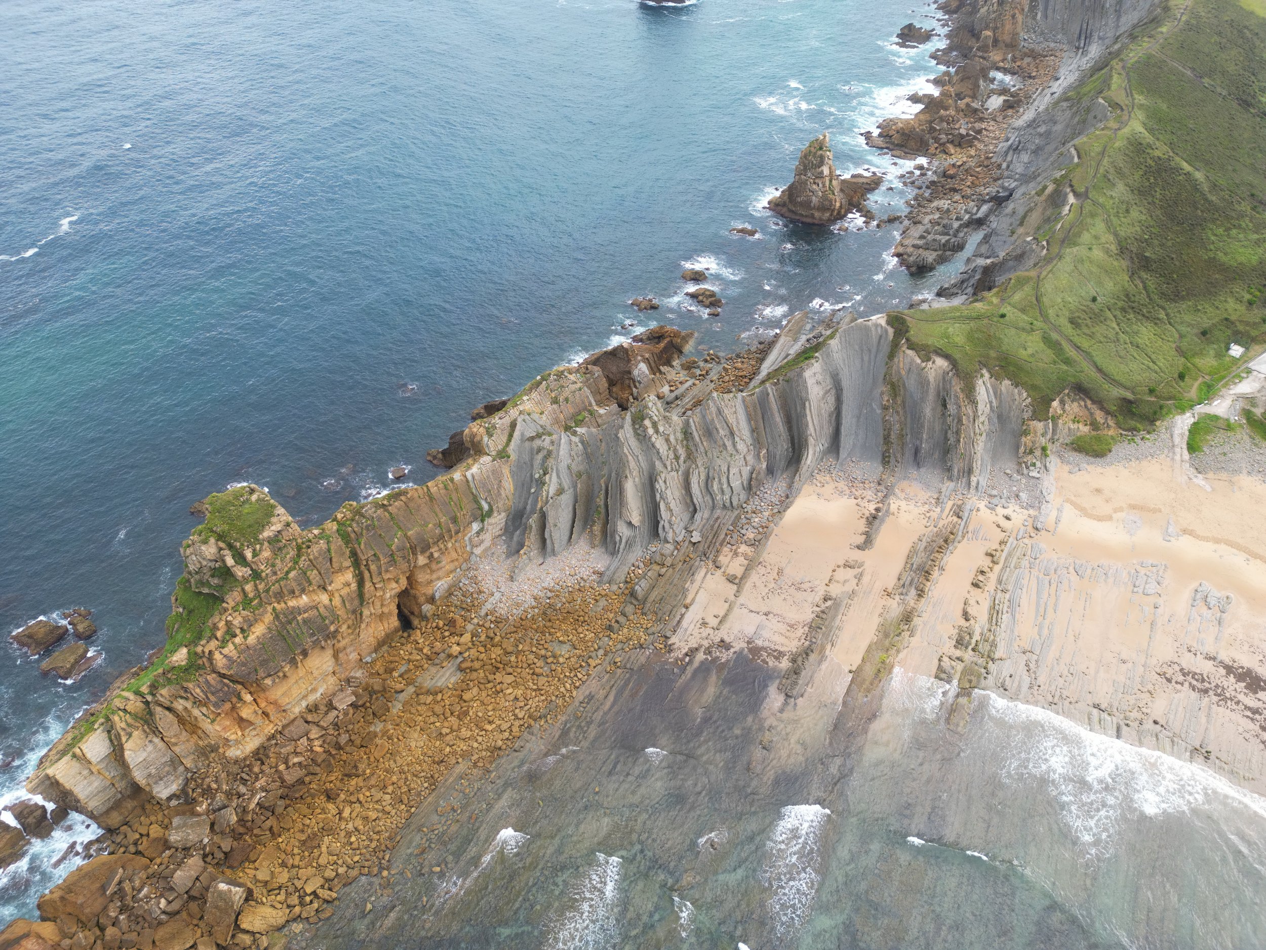
Take a look from our view
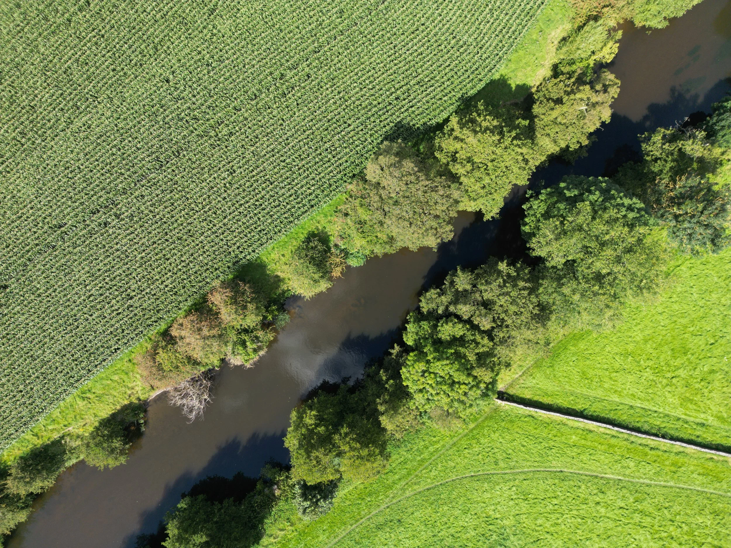
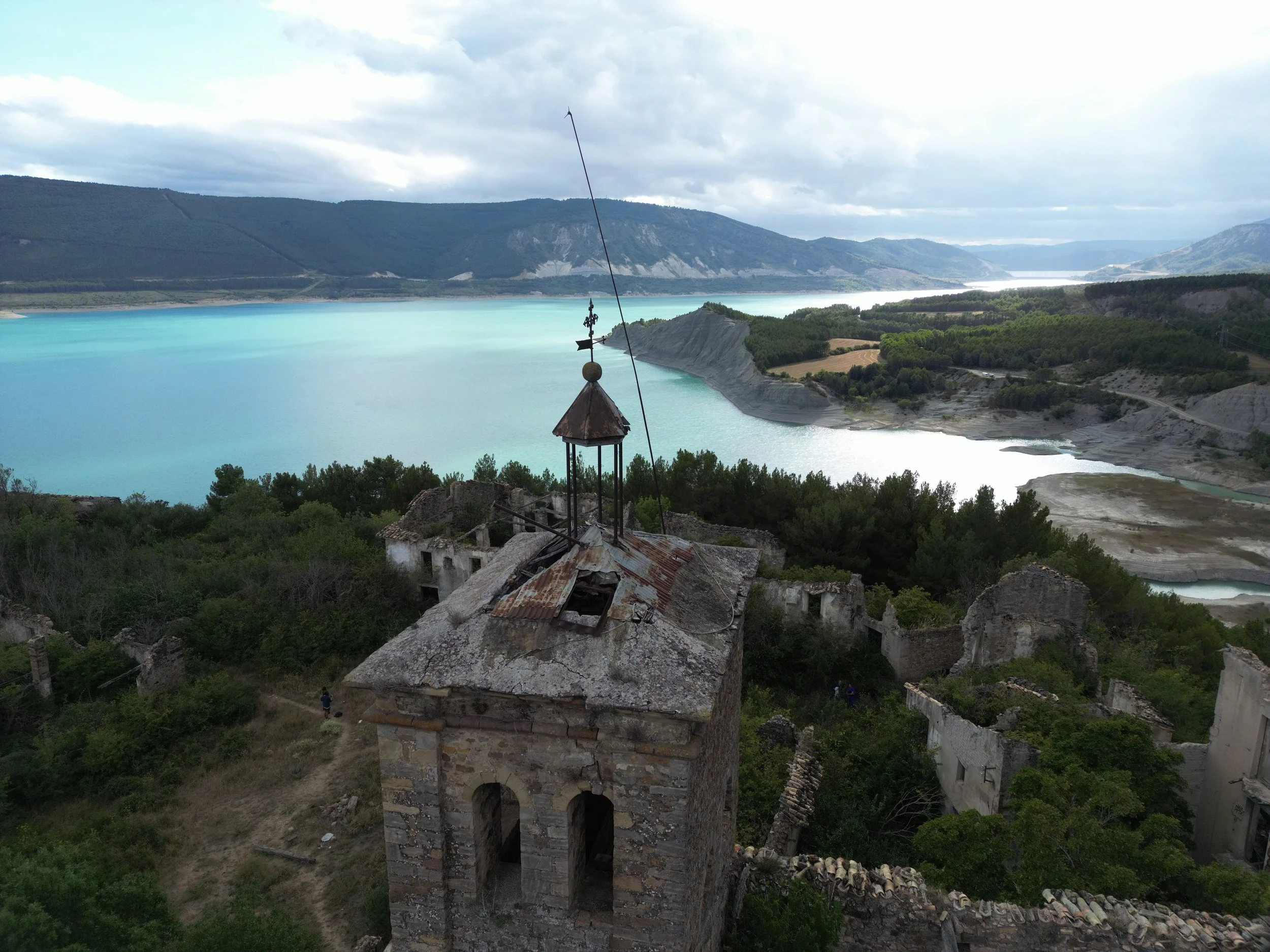
Something about looking at our landscape, project or home from above ignites a more connected and longer-term understanding of what we are doing. It also helps us make better informed decisions.
At BIOSPATIAL we combine constantly improving tech and scientific understanding to change the paradigm of accountability and responsibility we all have towards the ecosystems that surround and sustain us, and more importantly, how we ourselves can continue to fit into it.
Knowing exactly what is where, how ecologically important it is, and what it connects to, we can redesign how we impact our environment to the benefit of all. From farming and construction to large scale operations, urban design and global conservation projects, reporting on your impacts and fine-tuning your environmental management is easier when you are thinking Biospatially.
Contact Us
We look forward to working with you!
Email us at info@biospatial.com.au, or use this form to start a conversation about any of your aerial mapping, spatial, landscape and asset modelling, inspection or ecosystem inventory needs for your house, business, land, farm, conservation or construction project.
We are based on the Sunshine Coast and so can do smaller and regular repeat services in the surrounding area.