
Ecosystem Analytics
Aerial survey and ecosystem mapping services

Services
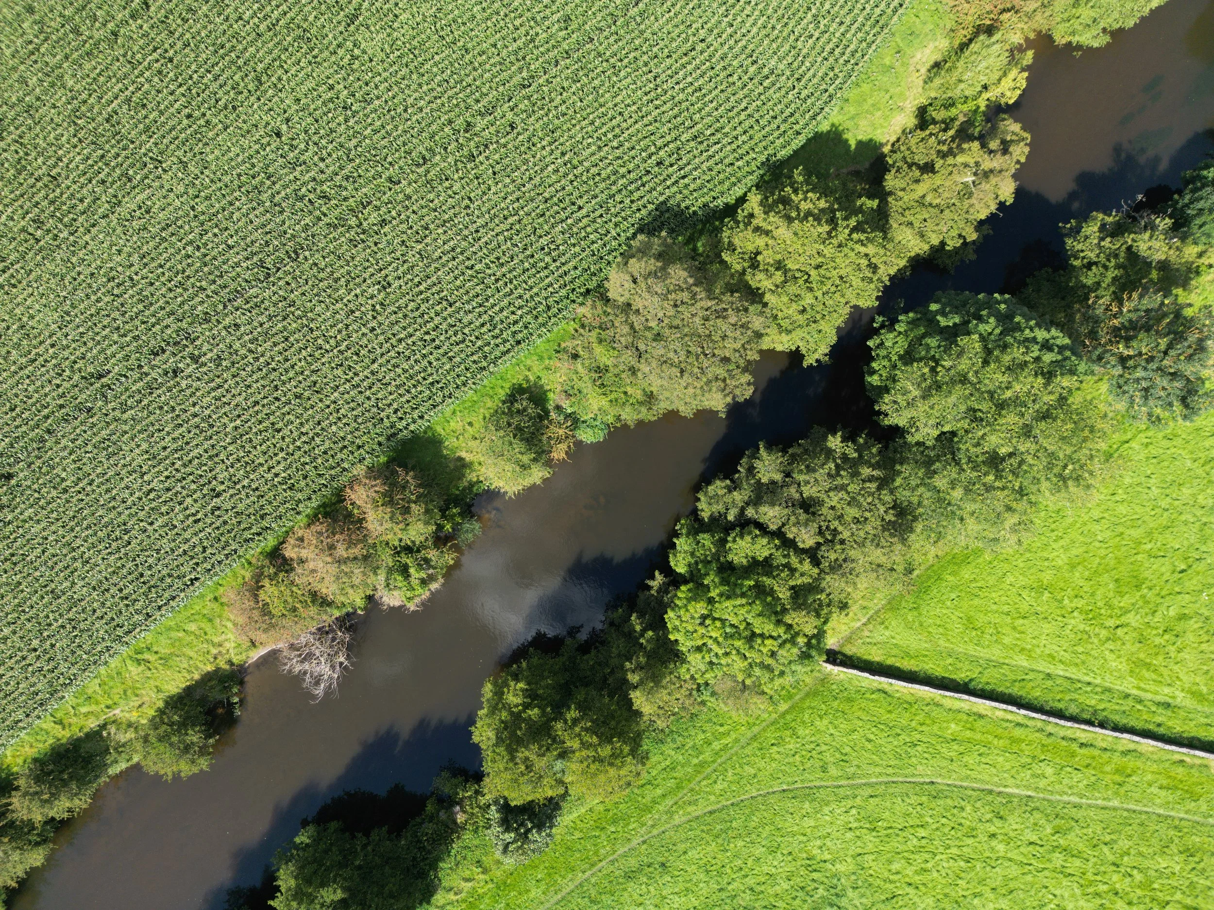
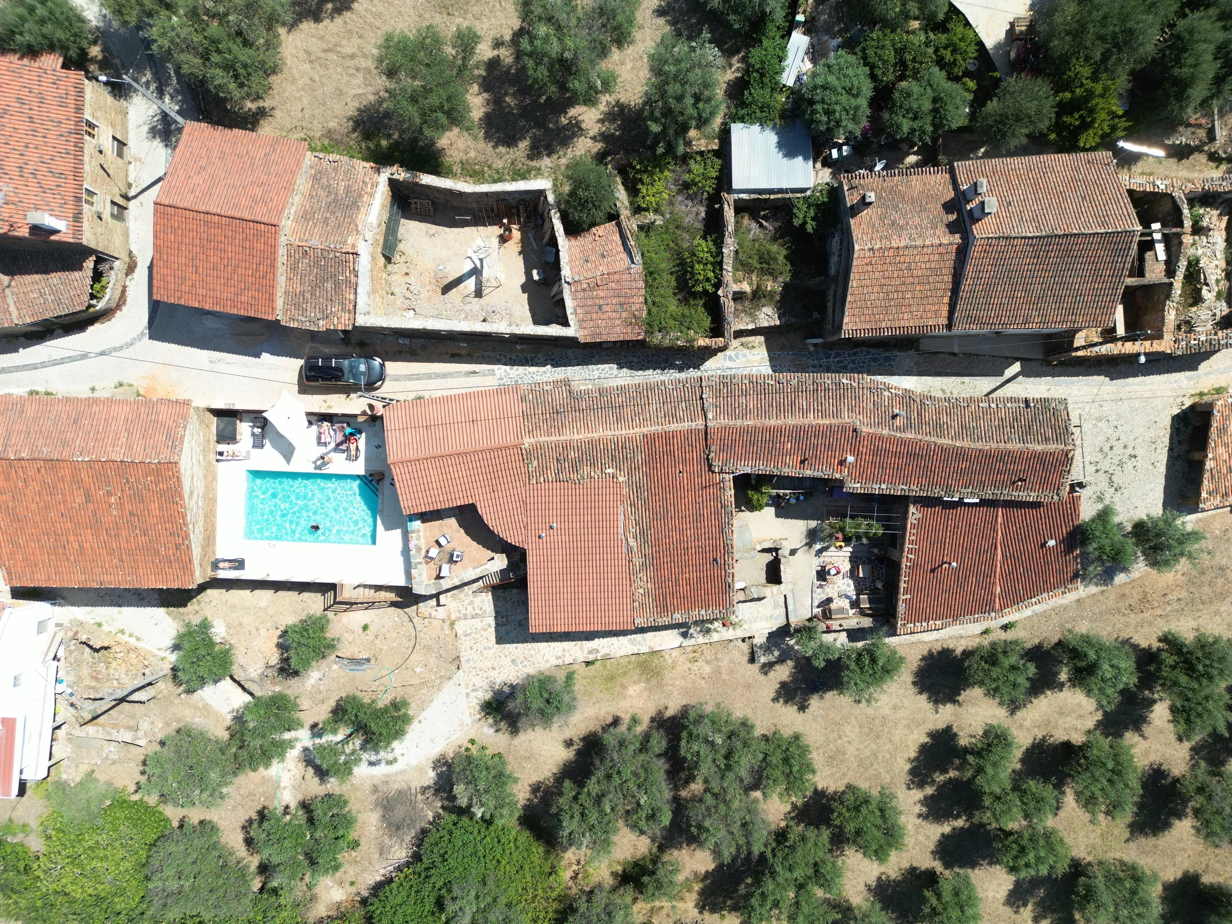
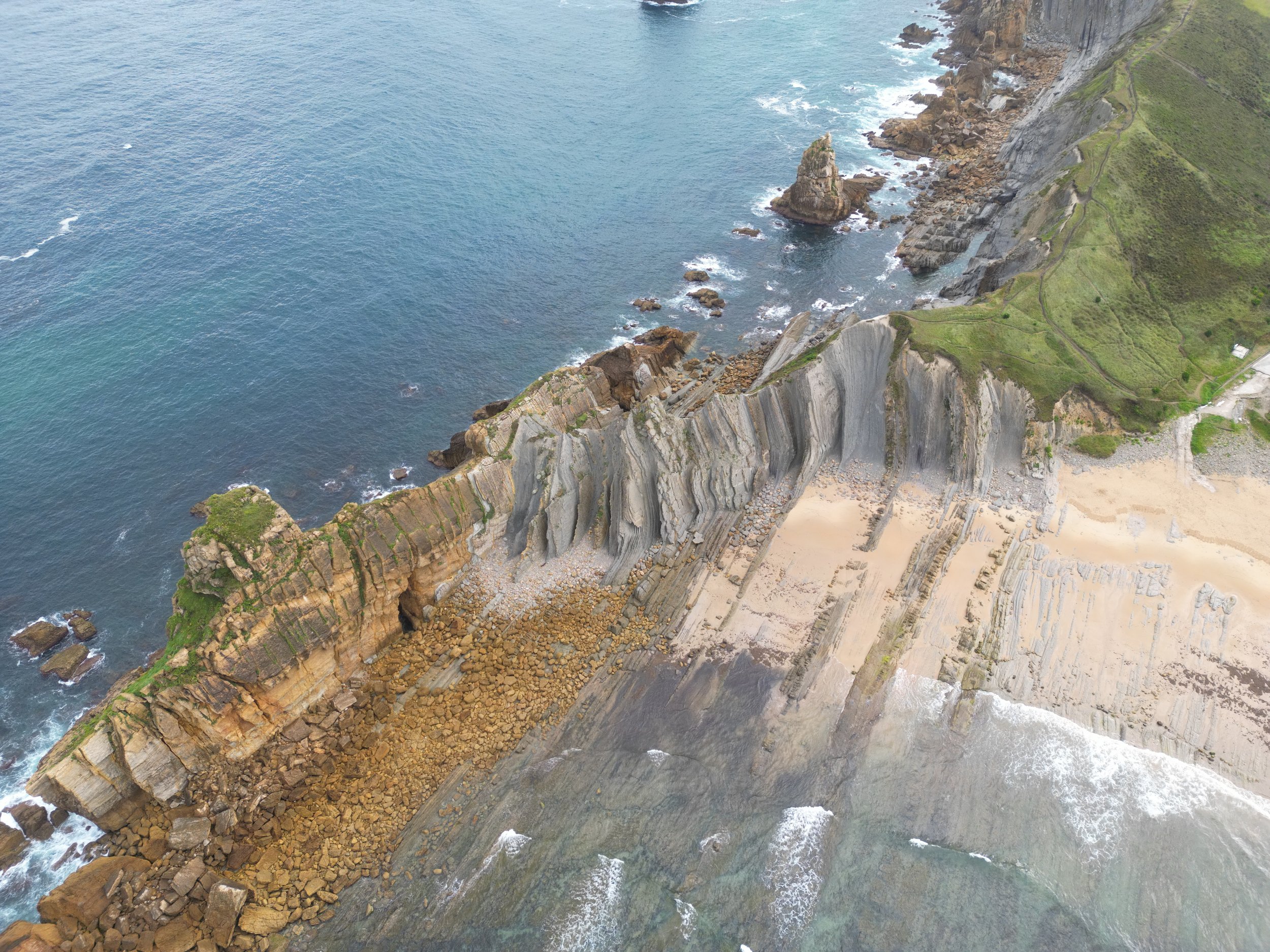
We use state of the art UAV systems to provide orthographic mapping, photogrammetry, and LiDAR modelling of your site, property and assets.
Utilise our accurate imagery for planning, asset inspection, change detection, distance, area and volume calculations and more to save you time in the field and get an accurate understanding of your land or project.
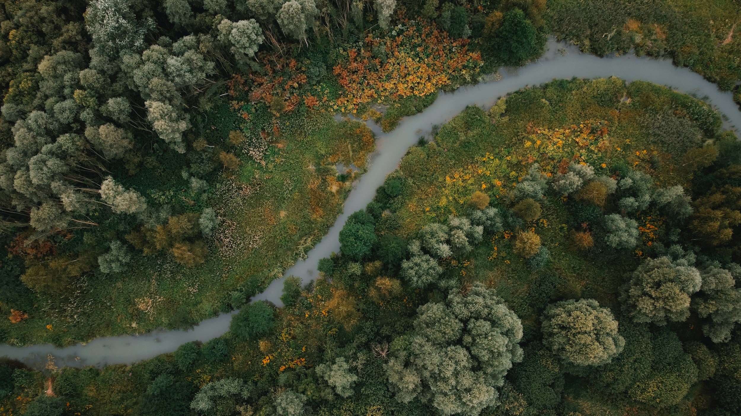
Our unique method of analysing and reporting environmental assets and how they interact with the surrounding ecosystems will redefine the way you and stakeholders view the true value of your land.
Keep way ahead of environmental standards and reporting needs easily with our visual reports.
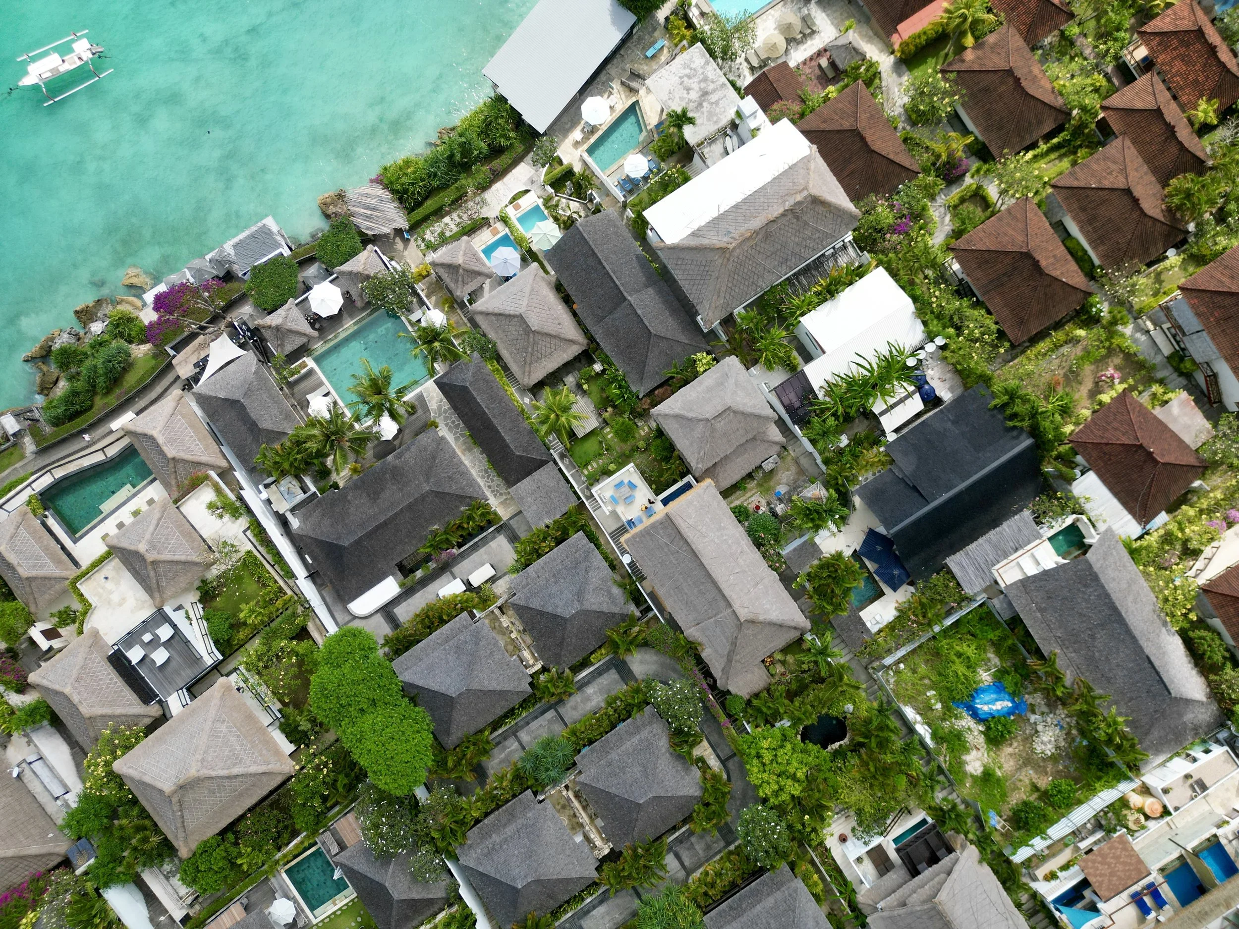
We have an experienced team of photographers and filmmakers ready to combine aerial and traditional methods to film and edit quality storytelling and promotional videos, providing you with perfectly framed shots of your business or event from the ground and sky.
Available for bookings for business promotion, water sports, real estate and other creative ventures.
We use advanced technology to provide aerial condition assessments and inspections of buildings, assets and infrastructure and provide you with the reporting needed for your peace of mind.
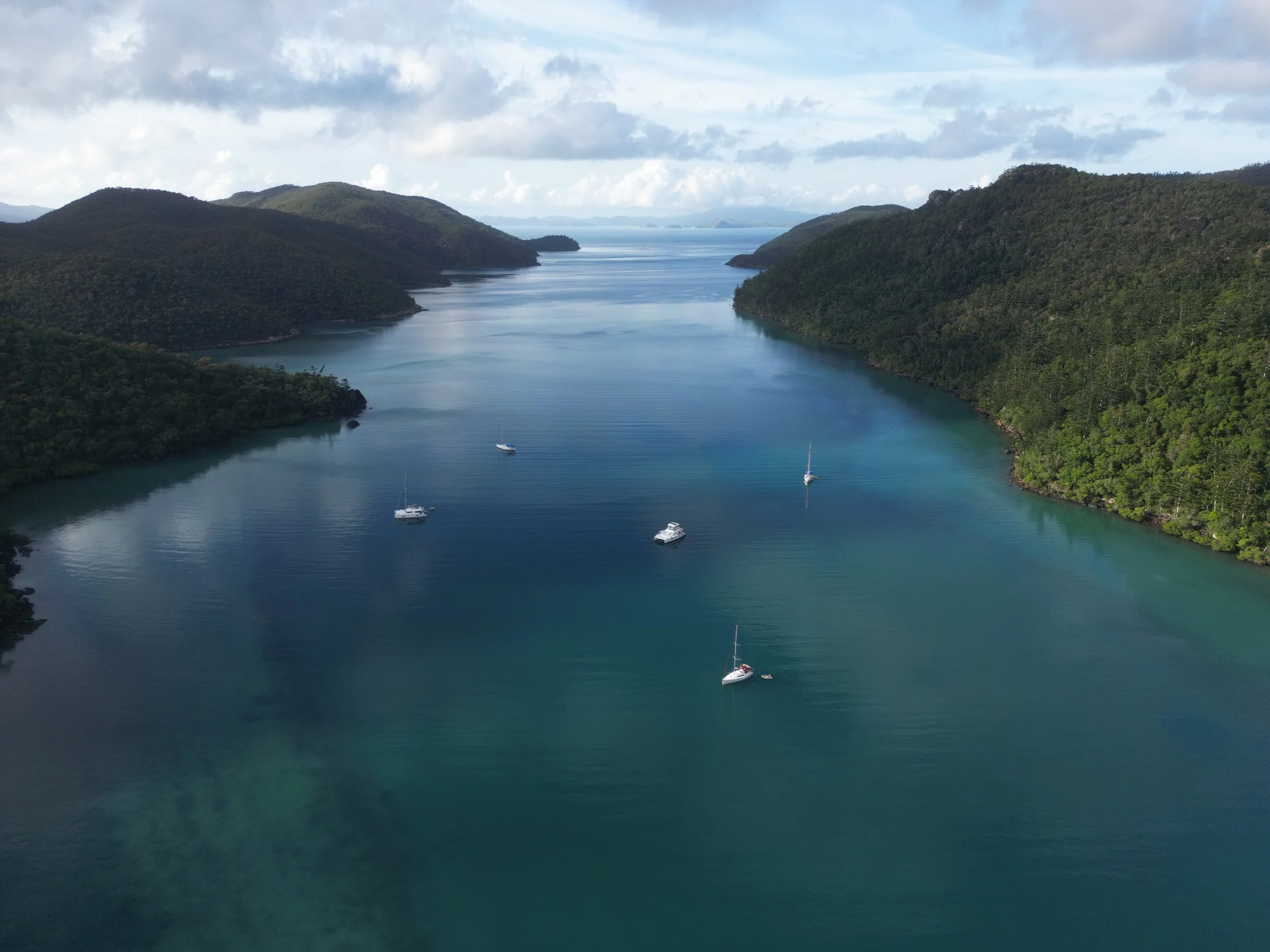
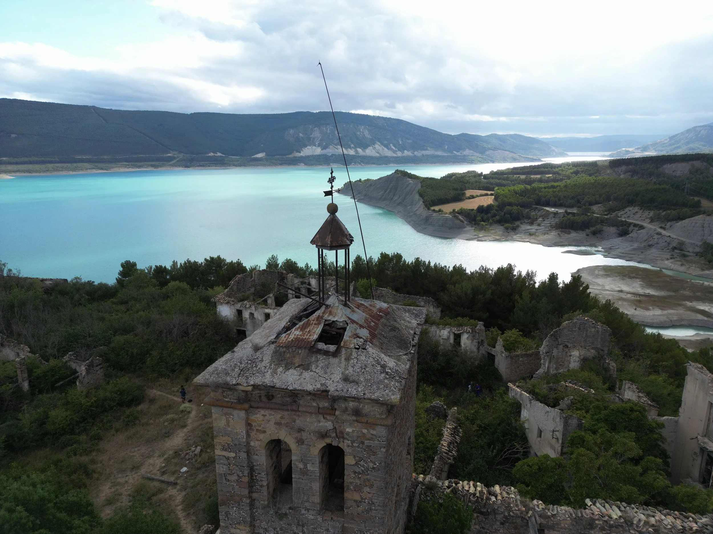
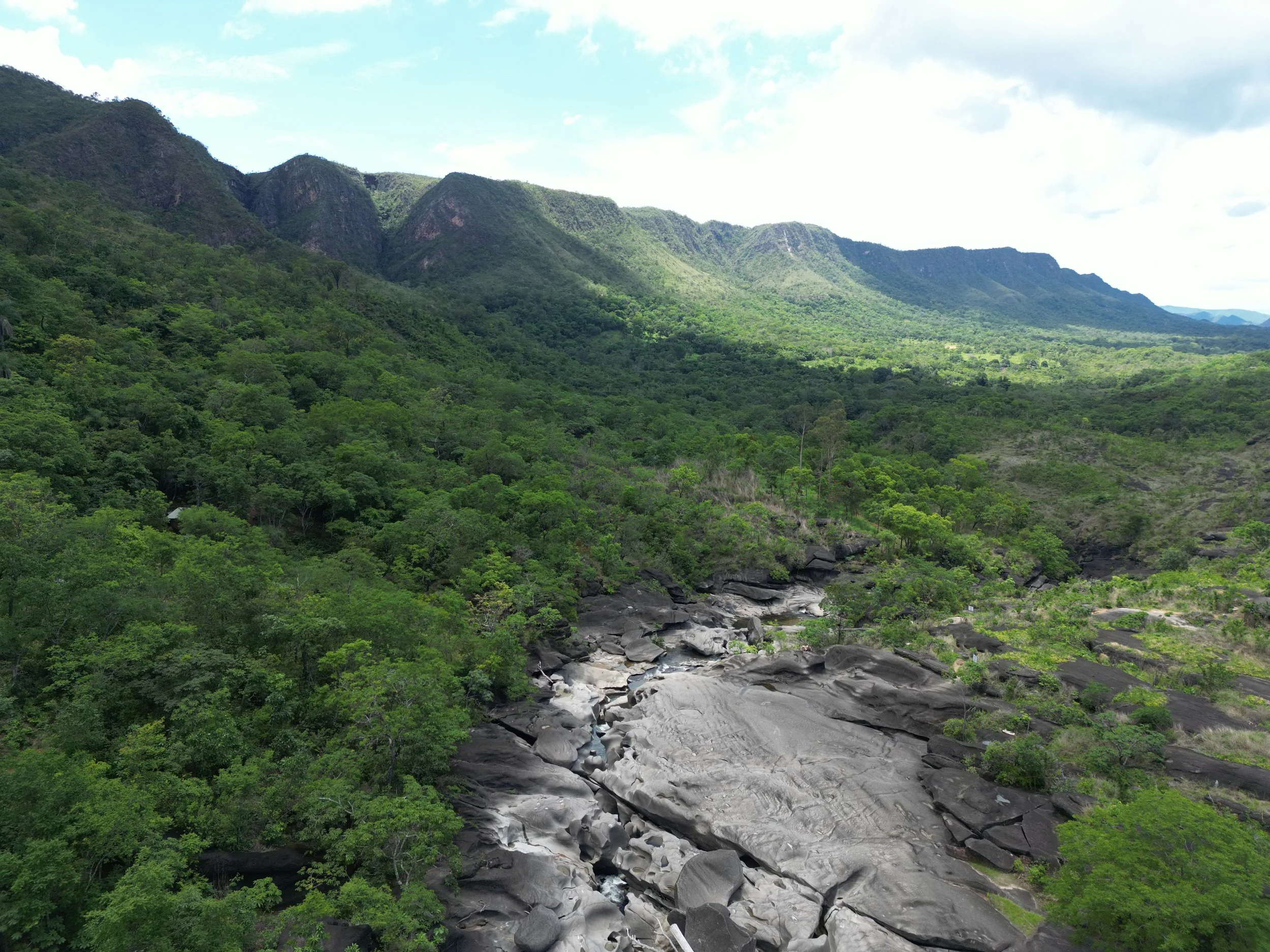
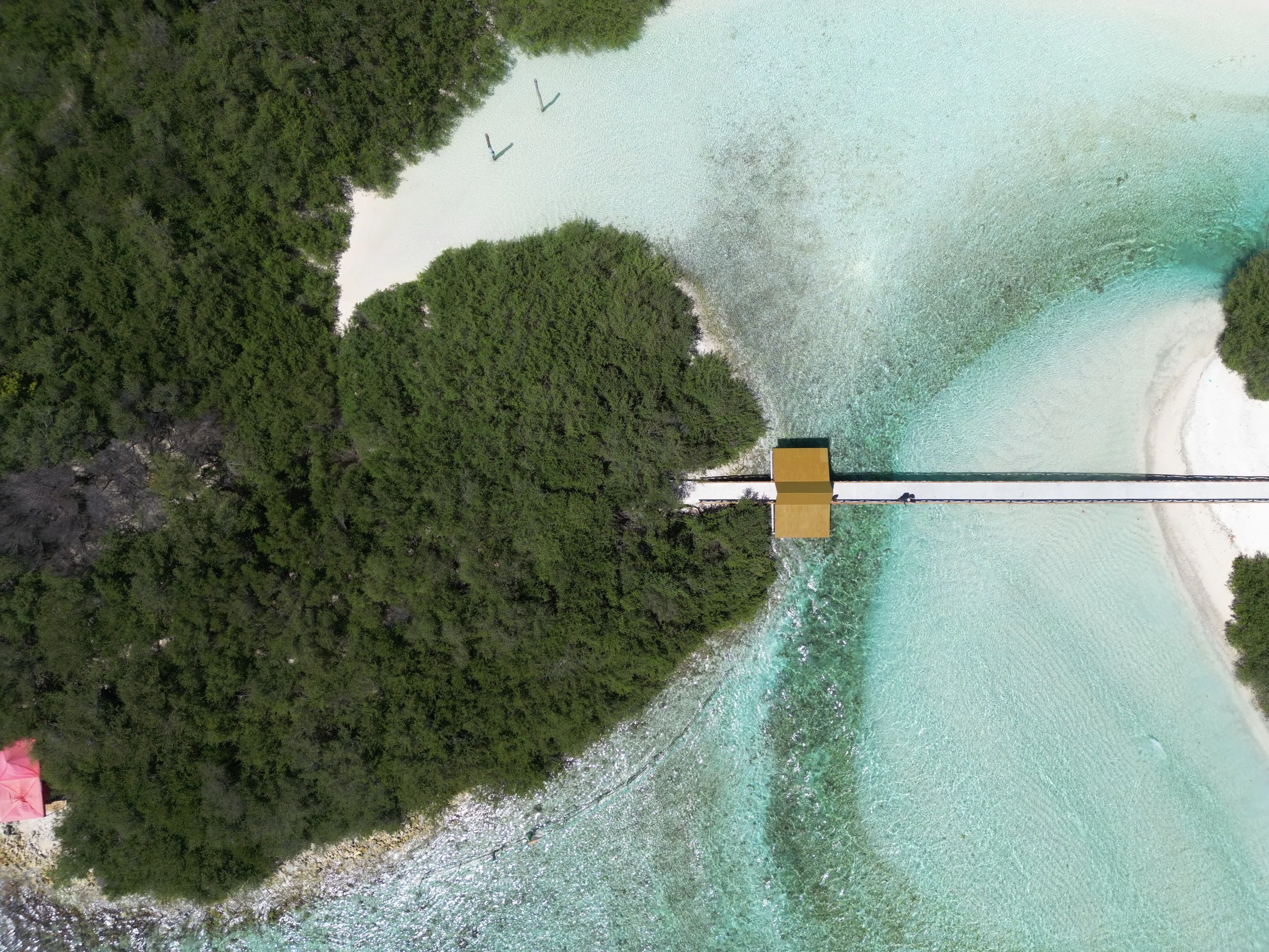
Take a look from our view
At the forefront of innovation, we redefine the spatial understanding of natural assets, finding new meaning in the nature that surround us.
Merging cutting-edge tech and models with visionary insights to change the paradigm around the accountability and responsibility we all have towards the ecosystems that sustain us.
Knowing exactly what is there, how important it is, and what it connects to, we can redesign how we impact our environment to the benefit of all. From farming to large scale operations and conservation projects, reporting on your impacts and fine-tuning your environmental management is easier when you are thinking BIOSPATIAL.
Contact Us
We look forward to working with you!
Use this form or email us at info@biospatial.com.au to start a conversation about any of your mapping, spatial, modelling or ecosystem inventory needs, and we can work together or send you to the right people who can help.